
DataScience Workbook / 01. Introduction to Data Science / 2. Applications of Computational Science / 2.2 Geospatial Analytics
Introduction
Geospatial analysis is the process of analyzing, manipulating, and visualizing geographic data in order to better understand patterns, trends, and relationships within a given area on the earth. It uses geographic information, such as satellite imagery, GPS (location) data, census data, and reference maps. This data is then used to create maps, visualizations, and photogrammetry. It is a powerful technique for understanding and solving complex problems related to spatial data in geography, agriculture, and population studies.
Areas of applications
Some common applications of geospatial analysis include:
- monitoring the distribution of natural resources,
- analyzing patterns of land usage and development,
- assessing the impact of natural disasters,
- identifying population demographics,
- and predicting patterns in disease outbreaks.
Some common tools and techniques used in geospatial analysis include geographic information systems (GIS), spatial analysis software, and statistical analysis. These tools allow analysts to analyze and interpret data in a variety of ways, including mapping data points, extracting accurate measurements (size, shape, and location of objects and features on the earth’s surface), creating heat maps, and performing spatial statistical analysis.
Geospatial Workbook
Geospatial analysis constantly improves a wide range of fields and industries, including land use planning, environmental monitoring, disaster response, transportation, and healthcare. It has allowed for the creation of detailed maps and 3D models, the tracking and analysis of changes and trends over time, the optimization of routing and logistics, and the identification of potential risk factors and bottlenecks.
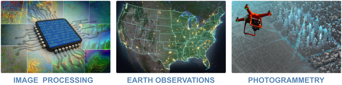
One effective way to learn about geospatial analysis is to study examples of real-world problems that are solved using computational tools and techniques. The Geospatial Workbook ⤴, available at https://geospatial.101workbook.org ⤴, is a useful resource for this purpose, as it provides a comprehensive overview of various aspects of generating & processing geospatial data, including importing earth observation data, image processing essentials, deep learning for images, photogrammetry, and visualization. By working through these practical examples, readers can gain a deeper understanding of how geospatial analysis is used to collect, measure, and interpret spatial/satelite data.
Learn more…
- Geospatial Workbook - homepage ⤴
- About the Geospatial Workbook ⤴
- Detailed Table of Content ⤴
- Geospatial Glossary ⤴
- How to contribute? ⤴